
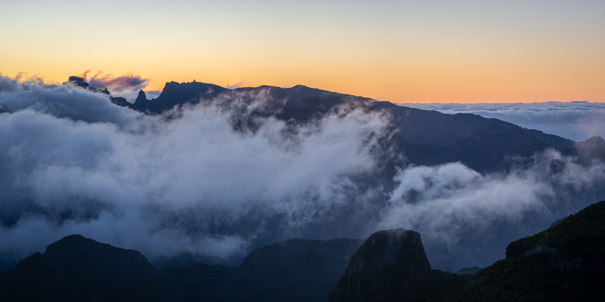
Sunrise from Bica da Cana peak
Madeira, Portugal
The tallest part of Madeira is Pico Ruivo (seen to the far left), which reaches an elevation of 1,862 meters (6,109 feet) above sea level. It is the highest peak in the archipelago and the third-highest in all of Portugal. This popular sunrise destination remains largely wild and rugged, offering several hiking trails with beautiful panoramic views that often sit above a sea of clouds.
Pico do Arieiro reaches 1,818 meters and is the third-highest peak on Madeira. A famous, challenging hiking trail connects Pico do Arieiro to Pico Ruivo, passing through tunnels and along steep ridge stairs. The summit of Pico do Arieiro contains an air defence radar station, named Estação de Radar N.º 4. The white geodesic dome houses a high-tech military installation operated by the Portuguese Air Force, used in monitoring the Atlantic airspace, tracking air traffic, and supporting oceanic search and rescue missions.
Photo © copyright by Dr. Edward Mikol.
Photo Prints
Metal Prints
Canvas Prints
Acrylic Prints